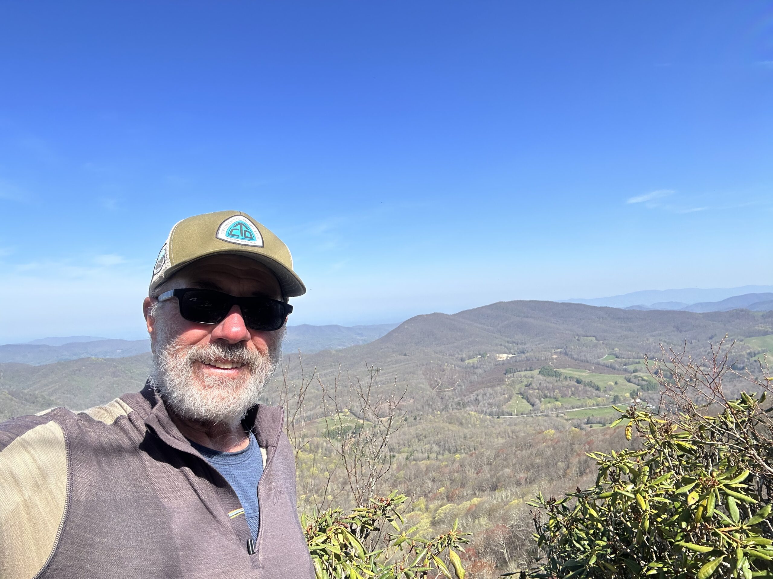
AT Day 29: Roan Highlands & Round Bald
Daily Miles: 17.6, Total Miles: 381.3
Mrs. Haze suggested I download an app called Merlin used for bird identification. One feature is to record the birds and it will attempt to ID them. I tried it from my tent this morning and the predominant bird was an ovenbird. But also a yellow-bellied sapsucker, white-breasted nuthatch and a black-throated green warbler. Very cool!
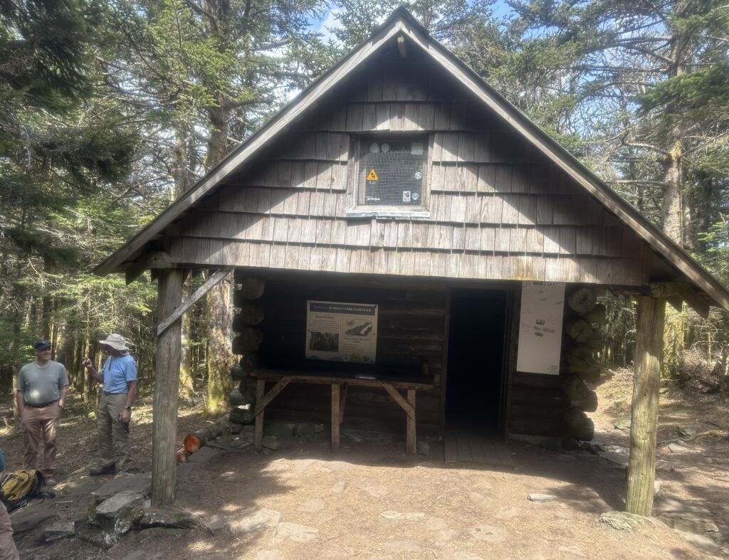
Back on the stair climber today along the NC/TN border, about a mile of elevation gain over 18 miles hiked. Much of it was later in the day on a long climb to the top of the Roan Mountains. The first place visited was the site of the old Cleveland Hotel. A big resort built in the 19th century but now just a grassy meadow on top of the mountain. A short time later, I also visited the Roan High Knob Shelter, the highest shelter on the AT at 6,270′.
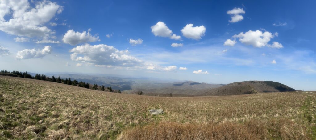
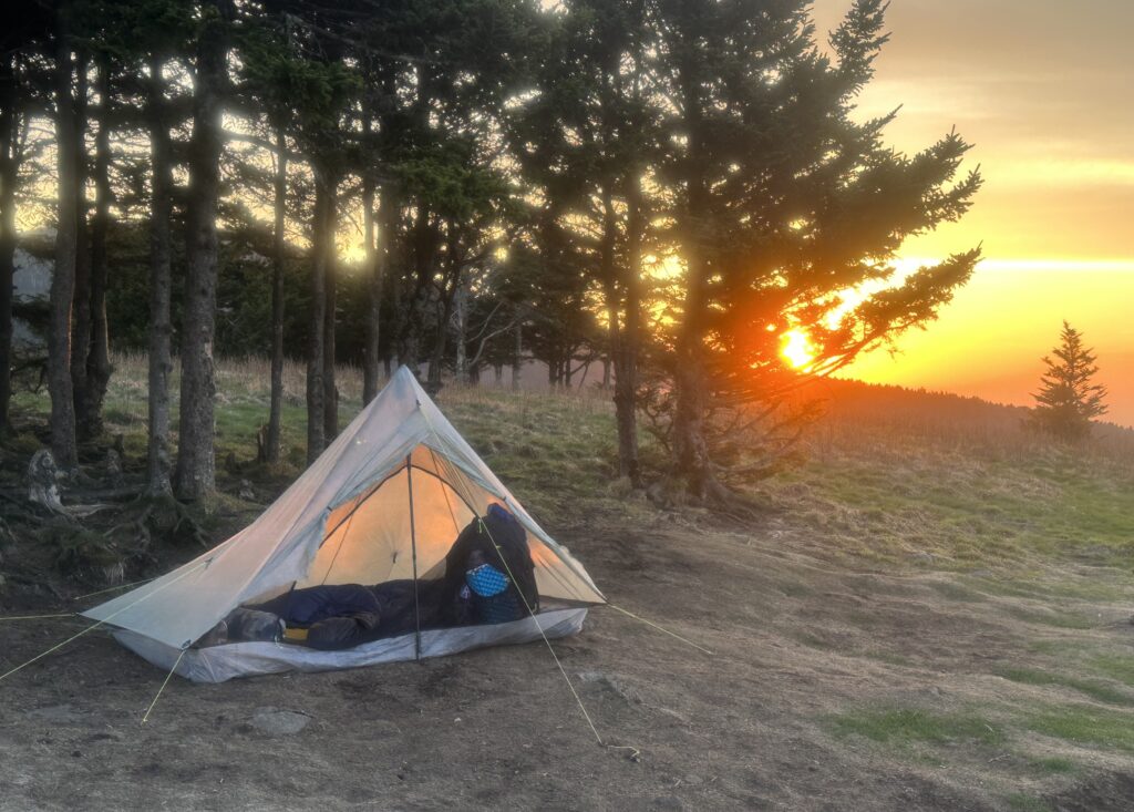
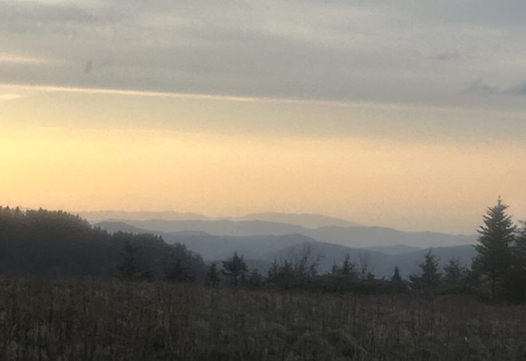
I dropped down to a spring at Culver Gap, crossed the road and climbed to the top of Round Bald. Windy, but near 360-degree views, Tennessee on one side and North Carolina on the other. Staked a claim on a small tent site with a patch of trees that may offer a windbreak.
With the near constant wind, I will no doubt need earplugs on a clear, brisk night.