DWTH Day 18: Buckeye Hills and Beyond
Daily Miles: 19.6, Total Miles: 261.7
I got an Uber back to the Robbins Butte Wildlife Area. The only wildlife I saw were a few doves.
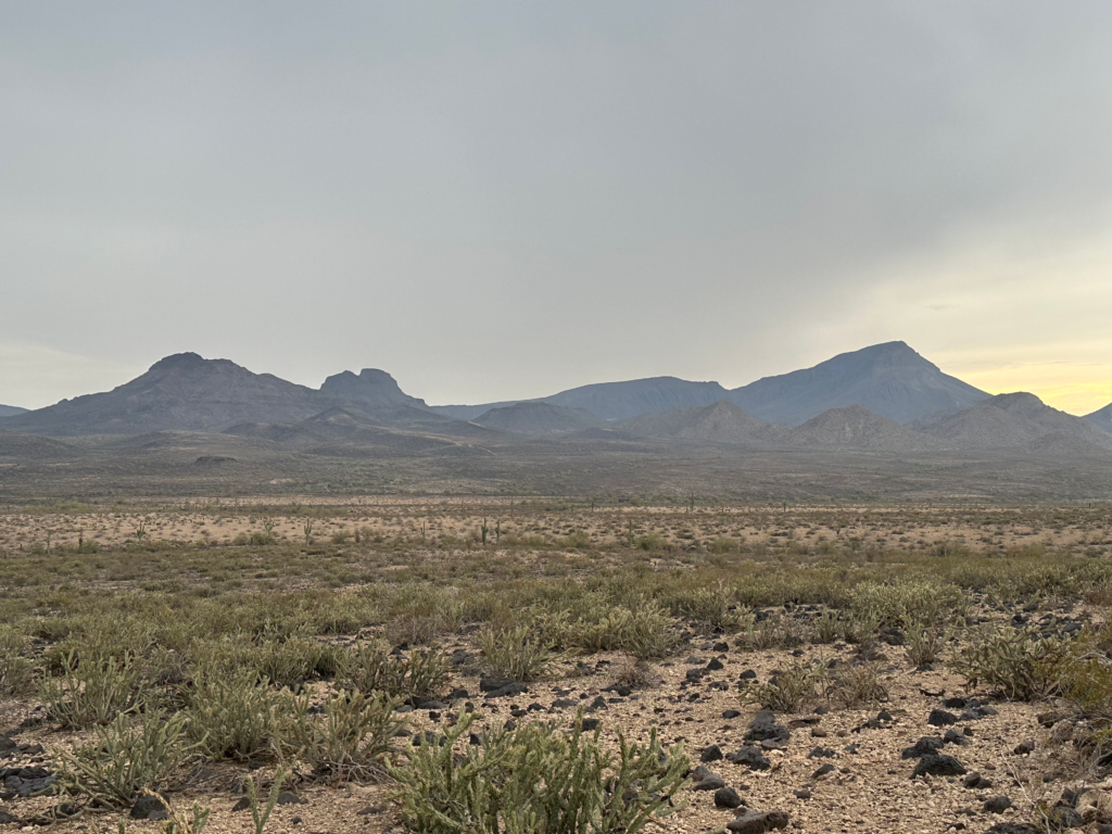
After walking east through irrigated fields, I headed south to the Buckeye Hills. A 600’ climb got me over a ridge to the other side. The Sonoran Desert landscapes are still with me, rolling hills, wide-open desert vistas and rugged terrain.
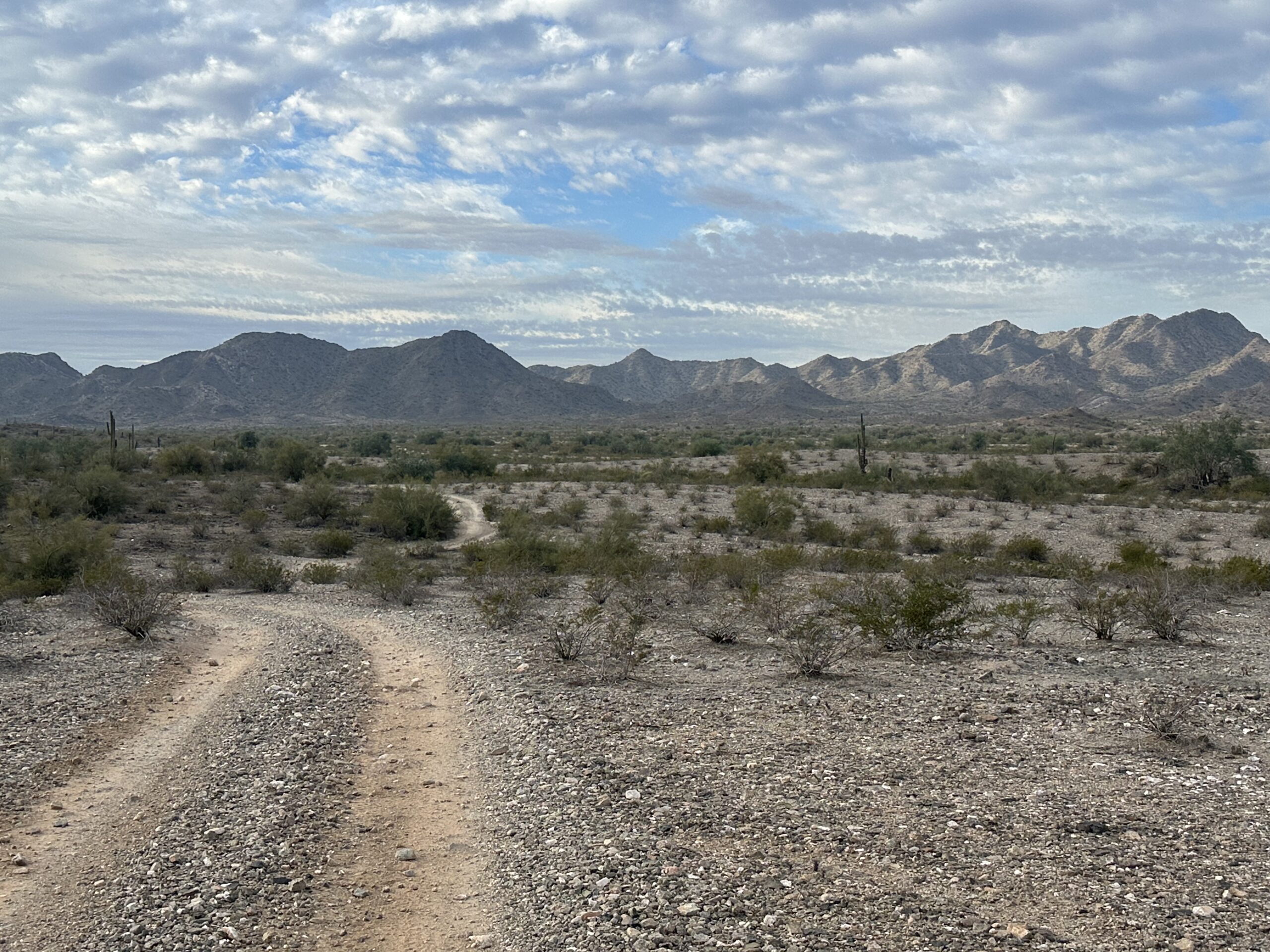
Next up, a long, x-country hike across the desert floor and drainages, first to a powerline corridor, then to the Gila Bend Canal and the old US Route 80. The canal carries Colorado River and Gila River water to agricultural areas near Gila Bend. The canal supposedly has good fishing for bass and catfish.
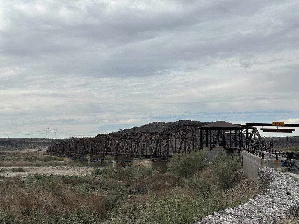
The old highway and canal led me to the historic Gillespie Dam Bridge, a 1927 vintage, 1,660’ steel through-truss bridge spanning the Gila River. Just upstream was the partially collapsed Gillespie Dam, still holding enough water for fishing and creation of a wetlands area. The dam failed during winter flooding in 1993.
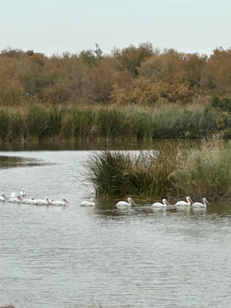
Seemed strange but cool to see a large group of American White Pelicans floating around in the desert. They apparently winter in this area.
I picked up my next water cache after strolling across the bridge, walked up a hill and set out to the SW across the rocky shoulder of an old shield volcano. The tough, old rock was hard on the shoes and wobbly ankles. A 30-minute light sprinkle on the way was quite refreshing.
I finally found a nice spot to set up the tent on the edge of a wash just inside the Woolsey Peak Wlderness. The peak has been a prominent landmark for much of the day.