
DWTH Day 23: Harquahala Mountains
Daily Miles: 15.1, Total Miles: 347.4
Lots of wildlife traffic by my tent last night. That’s what happens when you camp in a narrow wash. Some pitter patter and some heavier feet, I suspect deer or burros and/or coyotes. I did hear a coyote yipping very close to my tent last night.
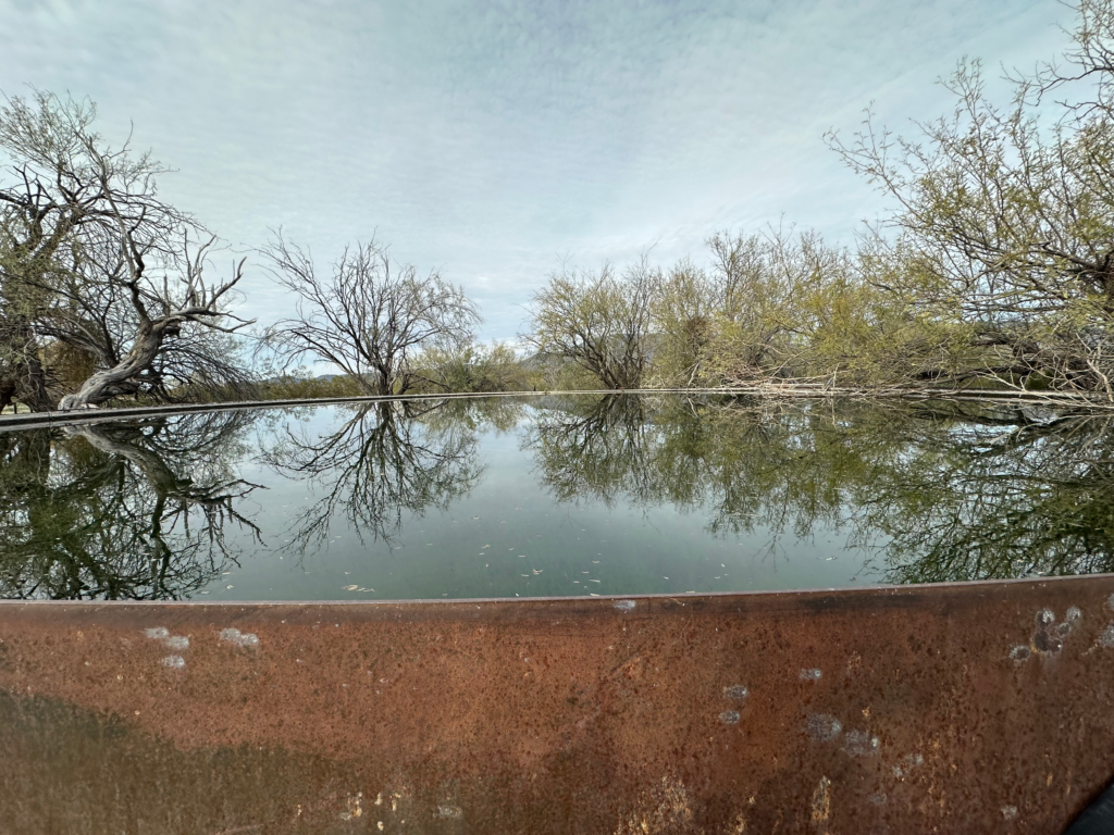
Washes and primitive roads got me to Tiger Well near Eagle Eye Road. The full storage tank was the best source of clear water and easily accessible, two full troughs as well. I stocked up because the next water source probably won’t be until I get to Salome tomorrow afternoon.
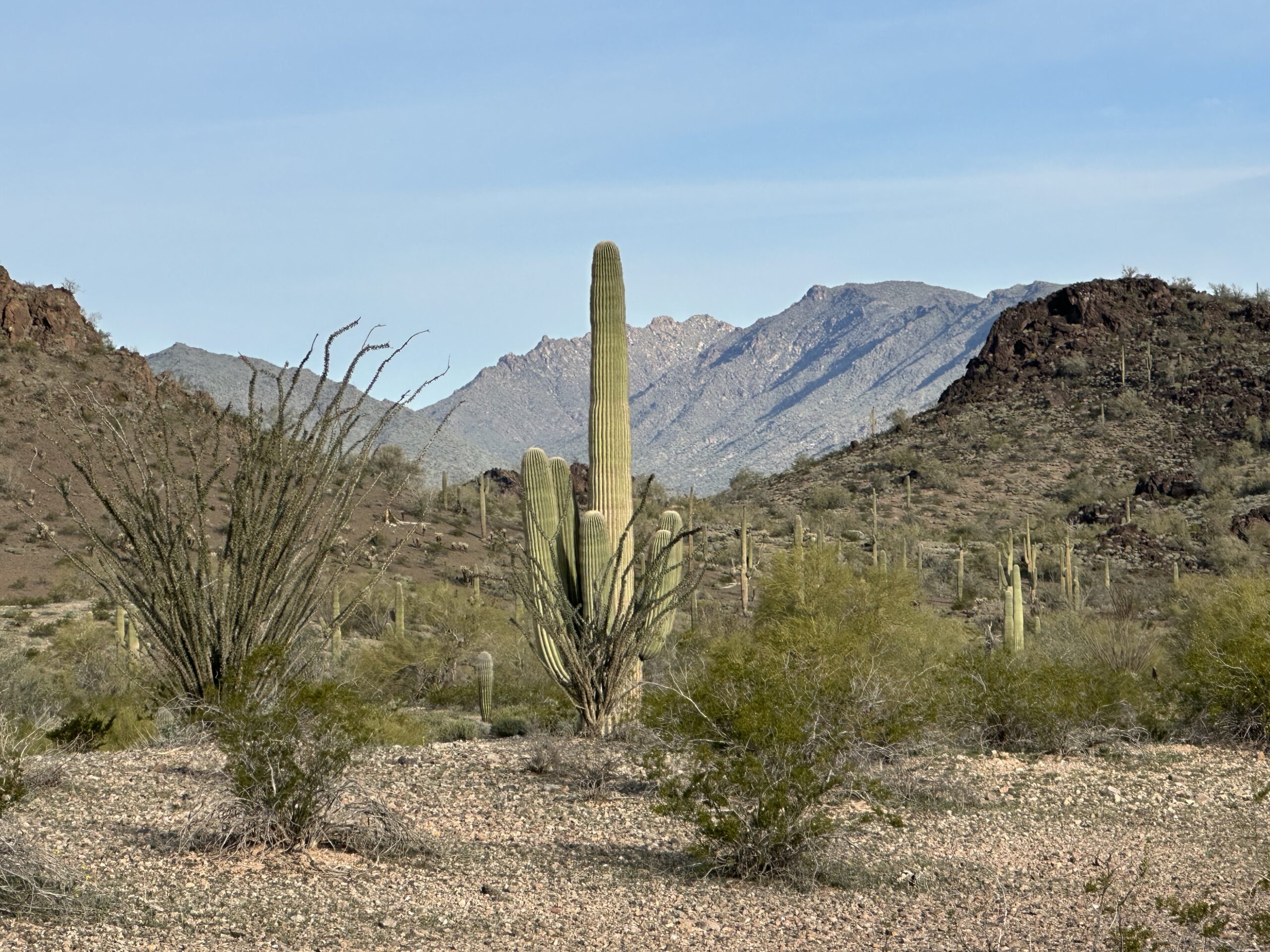
I started up into the foothills of the Harquahala Mountains (Harquahala is a Mohave word meaning “running water high up”), facing a 3,500’ vertical climb to the summit. The dirt road started on was stopped cold by a parcel of private property, looked to be a mining claim, judging by the old equipment, but has a residence that has blocked off the road for further access. The signage made it clear it would be dicey to continue.
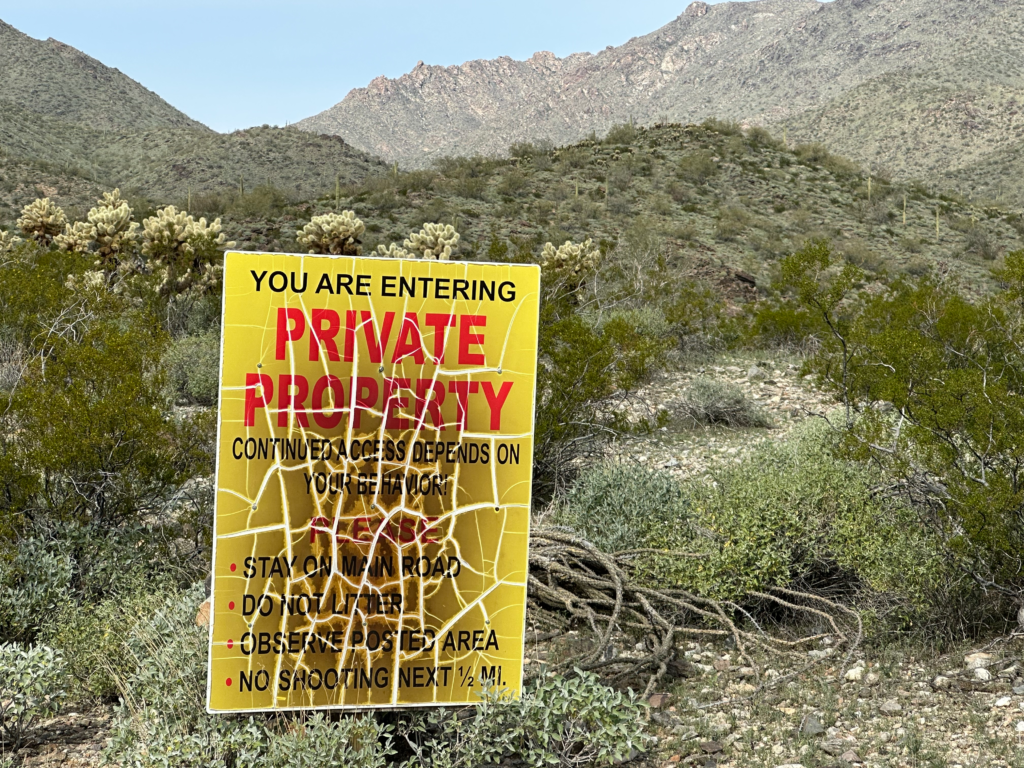
I had advance warning so knew there was an inconvenient workaround, not easy and challenging at times especially in the jumbled washes and the steep x-country section. The only saving grace was being able to poke around in some old mine workings/camps on the way up. Gold and silver was mined in this area in the late 1800’s/early 1900’s and a few small mines continued into the 1960’s.
After a lot of huffing and puffing, I finally reconnected with the road that had been blocked a few miles back and also entered the nearly 23k-acre Harquahala Mountains Wilderness Area.
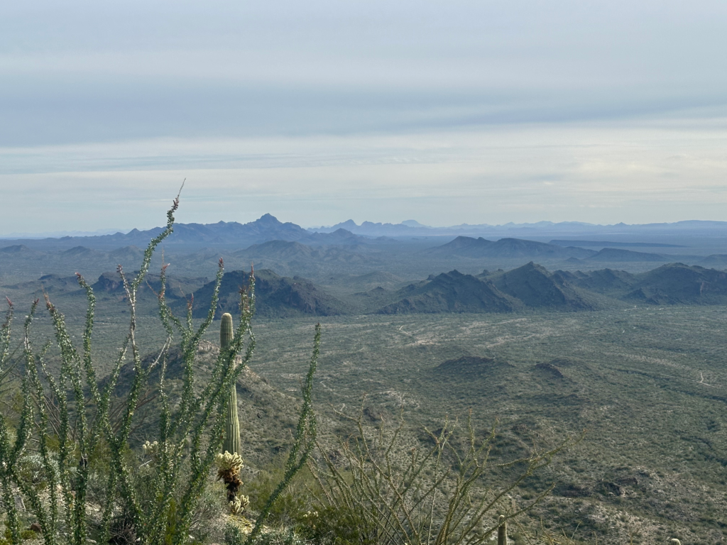
The road now is nothing more than a trail, severely eroded, rocky and very steep in places. At dusk, I gladly hunkered down on a rare, flat piece of ground on an exposed ridge at about 4,400 ft elevation. Stupendous view but a bit breezy.