DWTH Day 26: Harcuvar Mtns Wilderness
Daily Miles: 17.6, Total Miles: 374.9
Scott from Westward Inn got me from Salome to the trailhead off of Highway 60. The good weather continues with clear and sunny skies.
I first headed NW to Cullin’s Well, established in 1868, a water source and stage stop between Wickenburg and Ehrenberg, but now bone dry. Then on to Miller’s Reservoir, a stock pond now but it looks like there were much bigger plans to capture water but apparently abandoned.
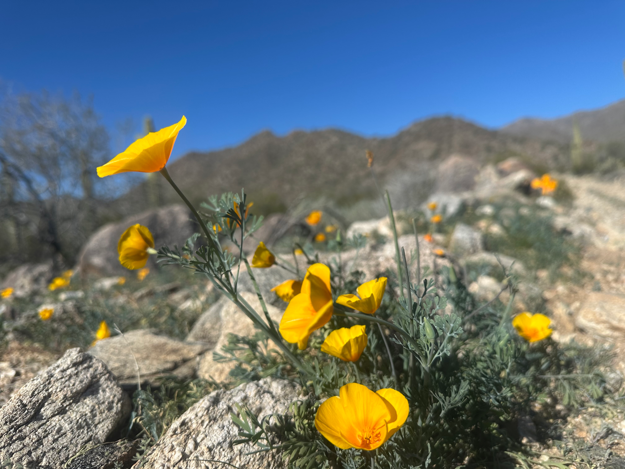
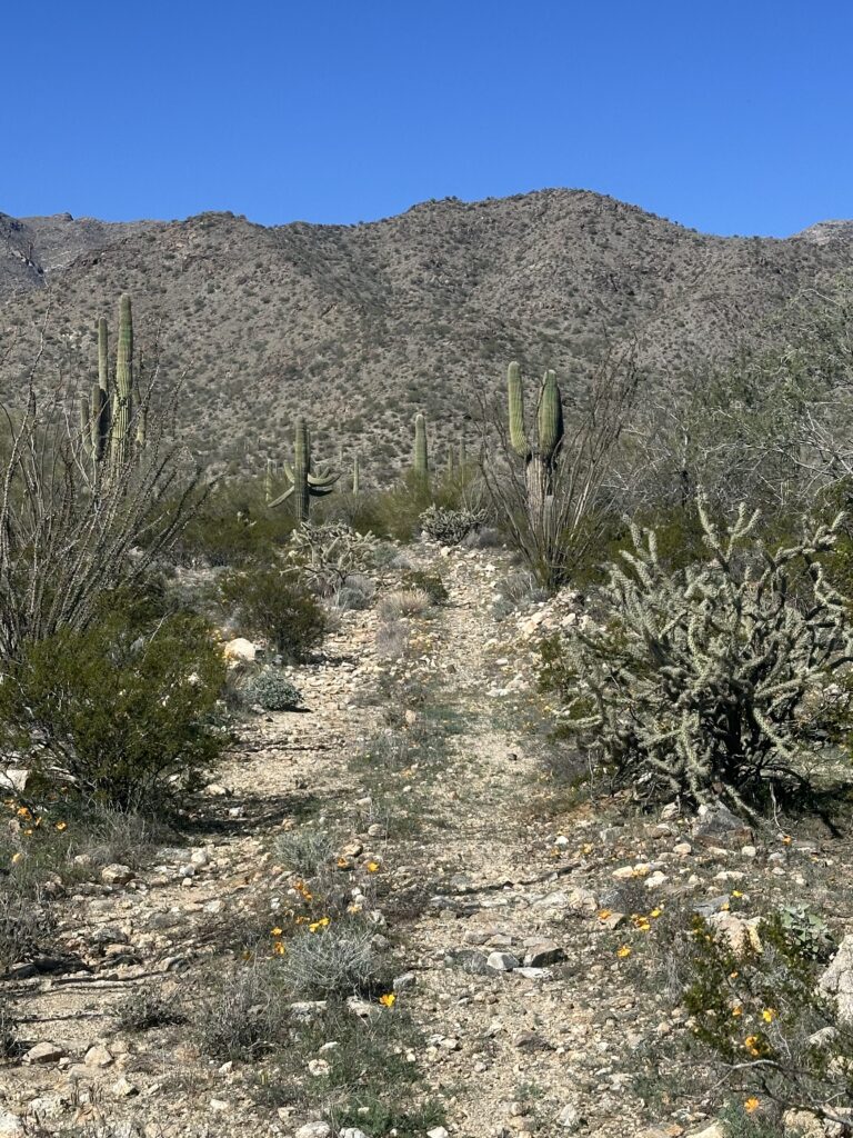
I filled up on water at a wildlife guzzler, working around the busy bees, and entered the Harcuvar Mountains Wilderness Area. Encompassing 25k-acres, this is the first of four Wilderness Areas in Section 5 designated in 1990 by the Arizona Desert Wilderness Act. Wow, the poppies are erupting in full force!
The old mine road I was traveling on ended at Webber Mine, an old copper/silver mine producing in the early 1900’s. Remains of an old camp are nearby. I saw some copper mineralization, malachite and azurite, in the nearby washes and tailings.
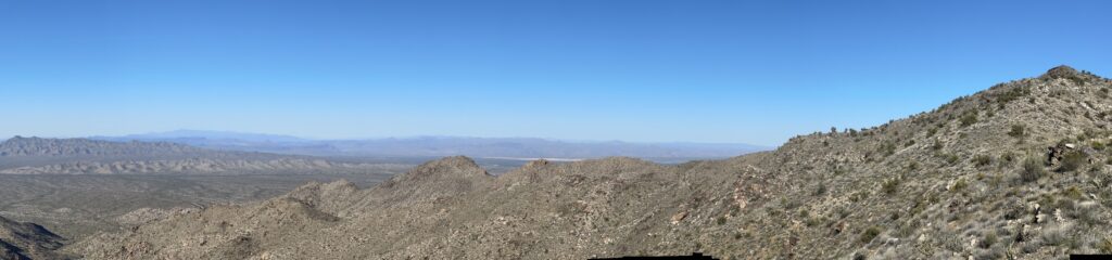
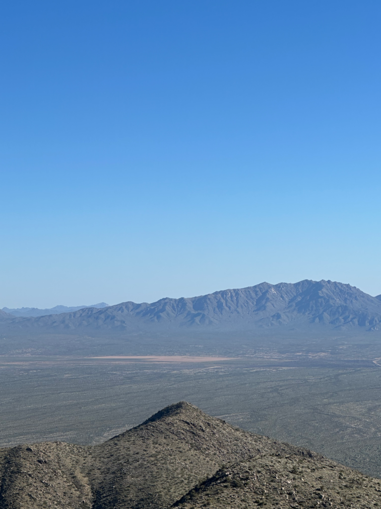
I next had to tackle a x-country, very steep 800’ vertical climb to a high ridge followed by what seemed to be an endless ridgeline walk although helped by burro trails.
I exited the Wilderness Area at the base of the mountain and found water at another wildlife guzzler, lots of algae and swimmers but filtered OK, beggars can’t be choosers.
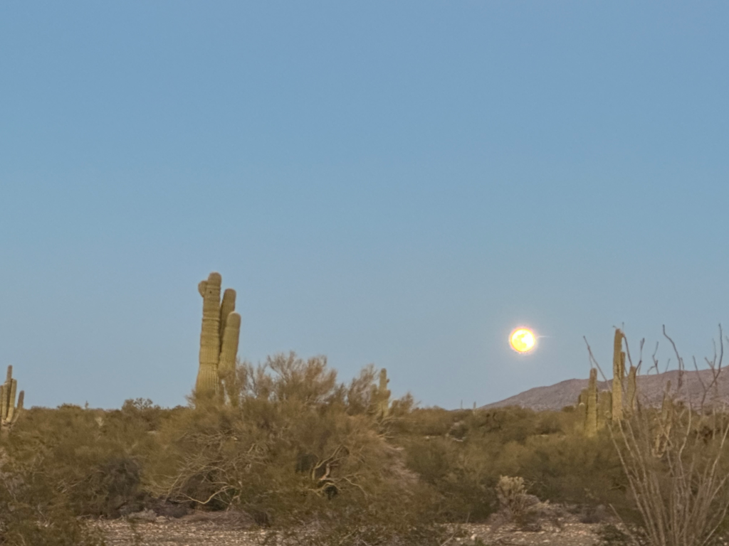
I gratefully camped nearby, rewarded with a nice sunset followed by a rising full moon.