
DWTH Day 33: Along the Whipple Mountains
Daily Miles: 25.5, Total Miles: 493.3
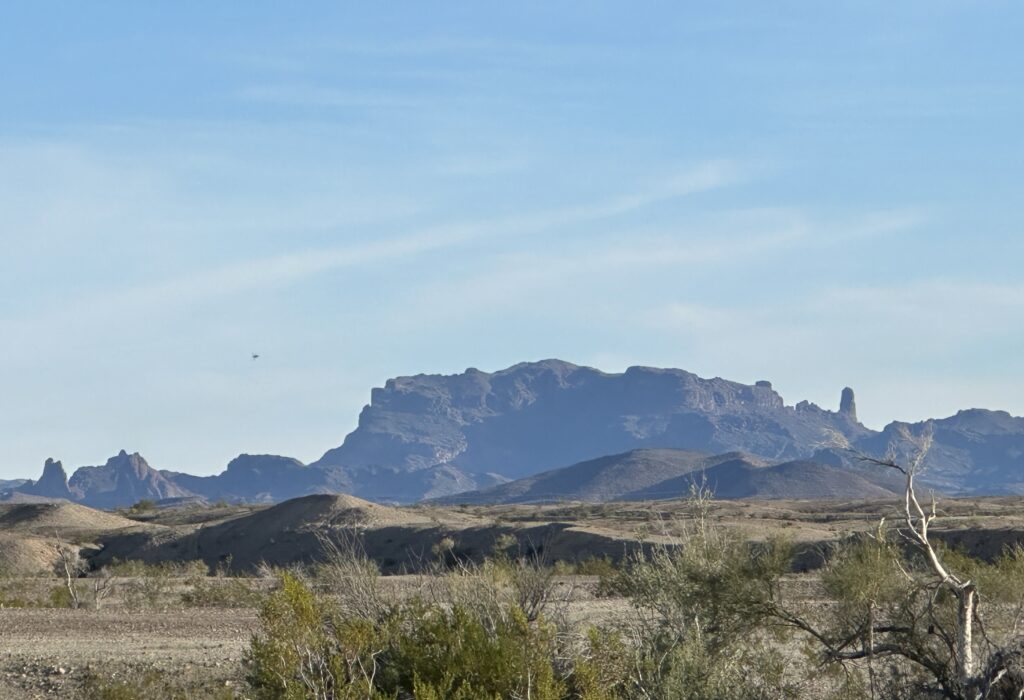
I really wanted to follow the x-country route along the ridge crests of the Whipple Mountains but thought it best not to overdo II with my surgically repaired ankle and now my other ankle with sore tendons. With the general weakness, I’m already wearing braces on both ankles but so far so good. Instead, I followed a lower route closer to the base of the Whipples exiting out closer to Vidal Junction.
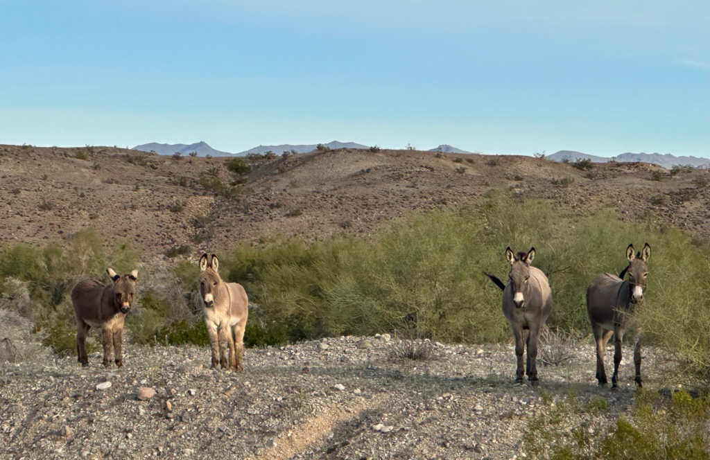
Along the way, I saw several burros, some of them cute youngsters. All were very wary, keeping a very close eye on me. The feral burro population originated from early explorers and increased with the mining boom in the 1800’s. BLM is charged with managing wild burros while trying to maintain an ecological balance with other plants and animals. Seems like a tough act but apparently there is an adoption program.
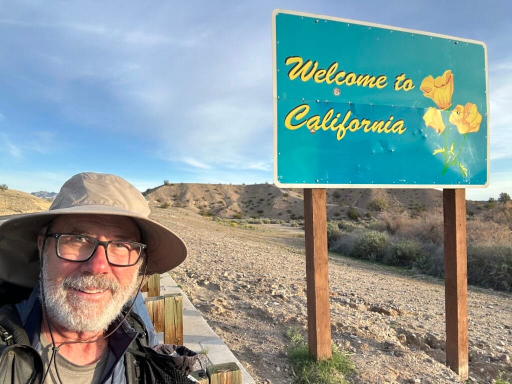
As I get further into California, I can see the changes transitioning from the Sonoran Desert to the Mohave Desert. The Sonoran has more lush vegetation with two rainy seasons. The Mohave is drier with winter rains and more sparse vegetation, less trees and no saguaros.
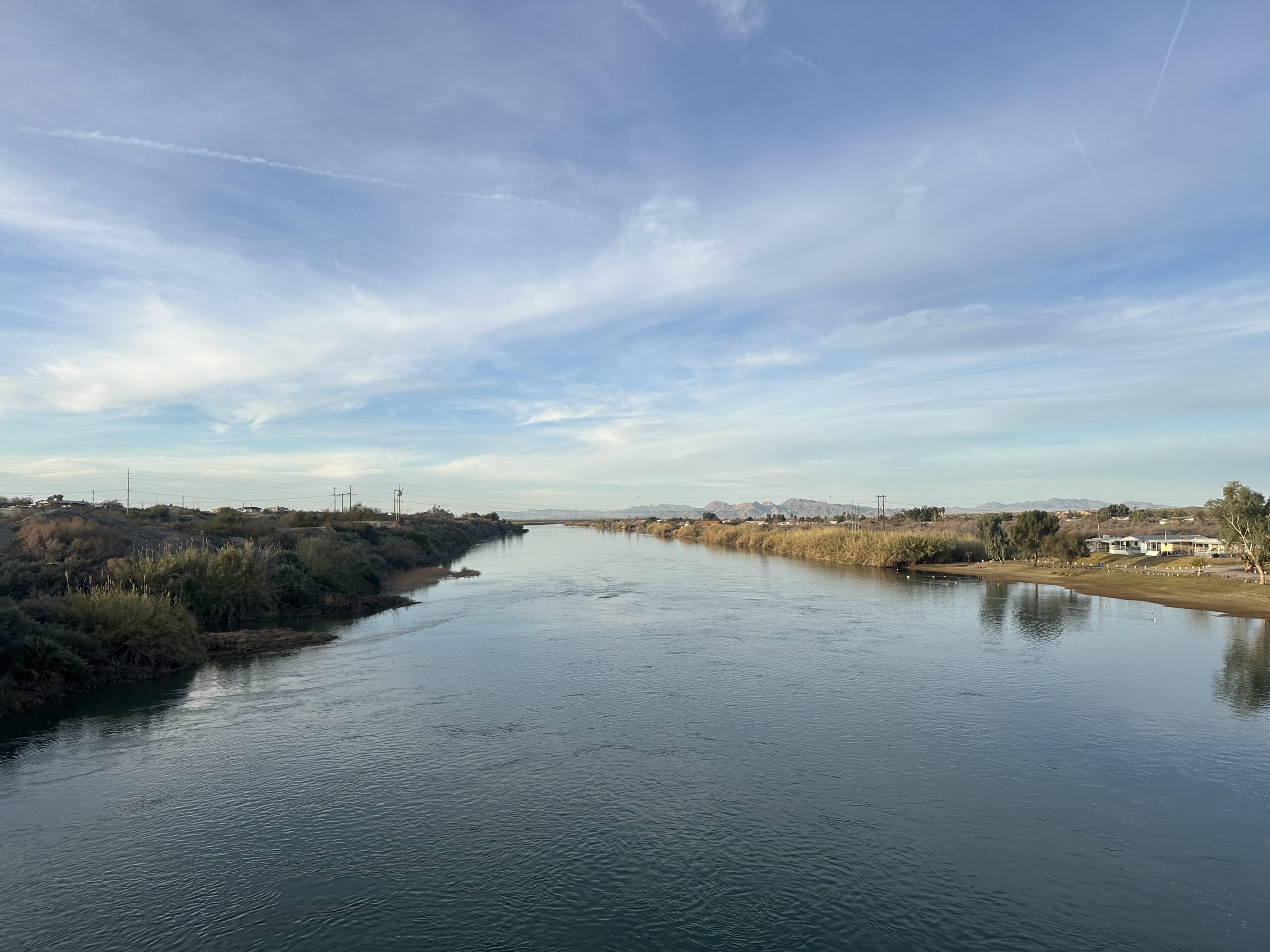
I stopped in at Vidal Junction, really nothing more than a California agricultural inspection station and a Chevron station with a small store. The attendant informed me there was no place to fill water bottles. I bought water at about the same exorbitant price they were charging for gasoline.
After leaving Vidal Junction, I headed north paralleling Hwy 95 for about six miles before dusk and fatigue set in. A sandy, but firm wash fit the bill for a nice tent site.
Sonewhere along the way today I lost my small butt pad out of my mesh pocket on the back of my backpack. I suspect a thieving thorny tree or bush.