
DWTH Day 41: Mines & Hills to Kelbacker Road
Daily Miles: 18.3, Total Miles: 631.6
A gratefully quieter night and a much better sleep.
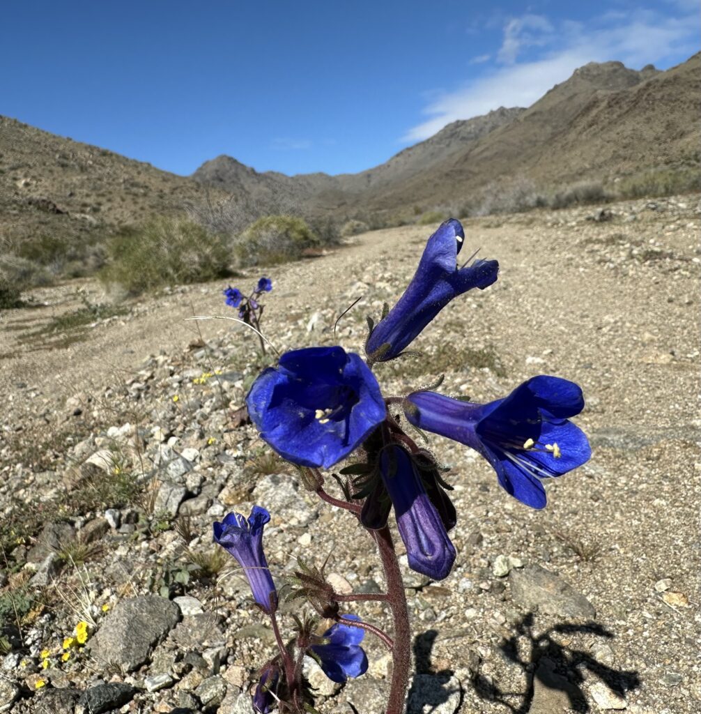
I packed up and continued south down the Clipper Valley Road for another five miles before turning west on the Bighorn Mine Road that would take me back to the DWTH route. A cool hike this morning with good views of the Providence Mountains and abundant yellow and deep blue flowers. I also came across a bunch of wild yellow gourds.
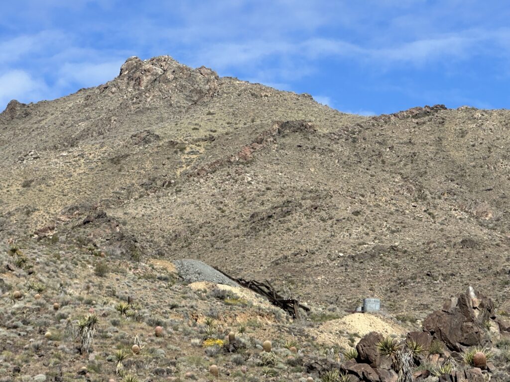
I soon reached the remains of the Bighorn Mine where gold was first discovered in the late 1800’s. The underground mine and shaft are sealed but I did wander around the collapsed headframe, ore bins and other old mine remnants. The mine closed down for good in 1943.
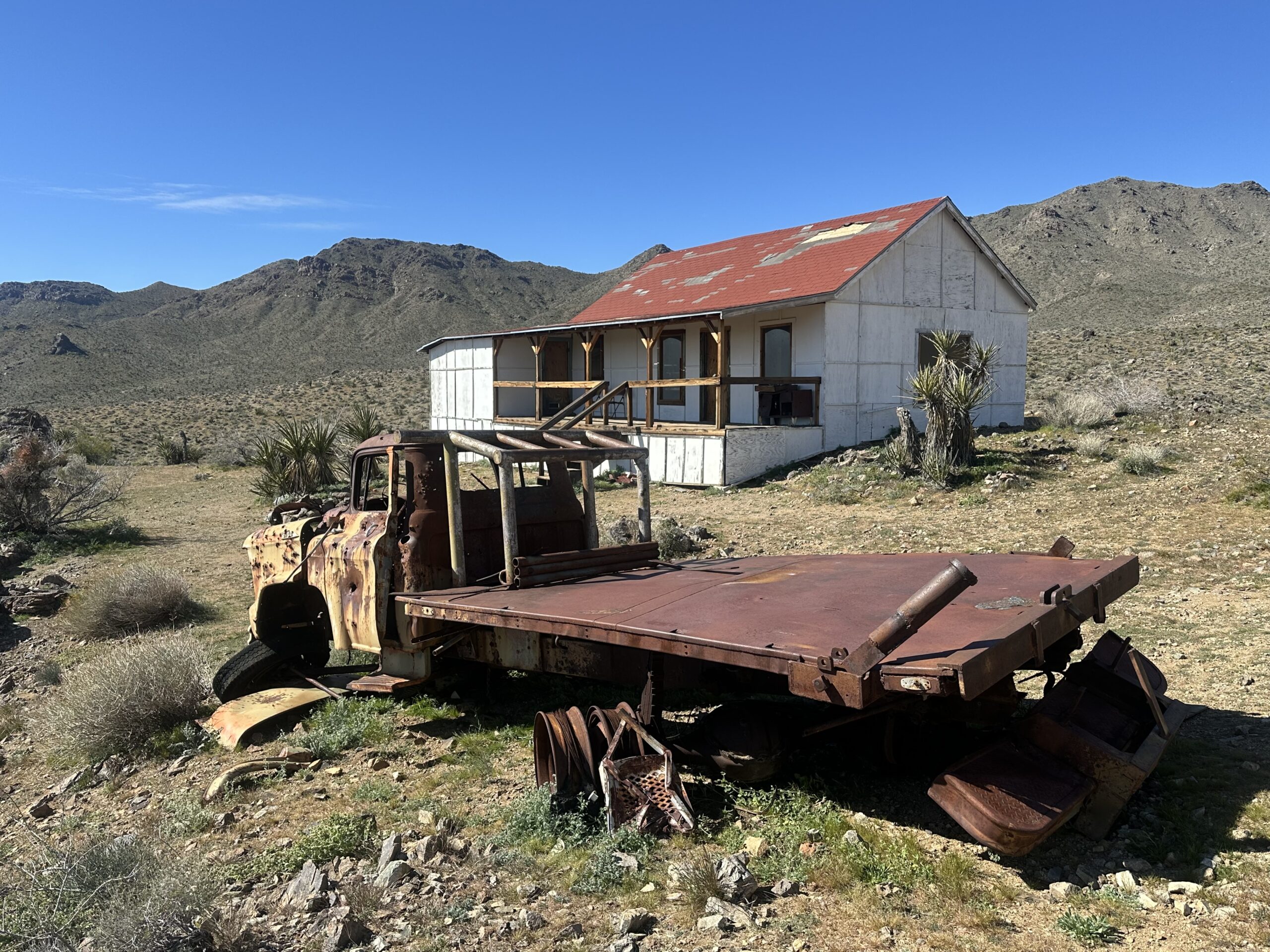
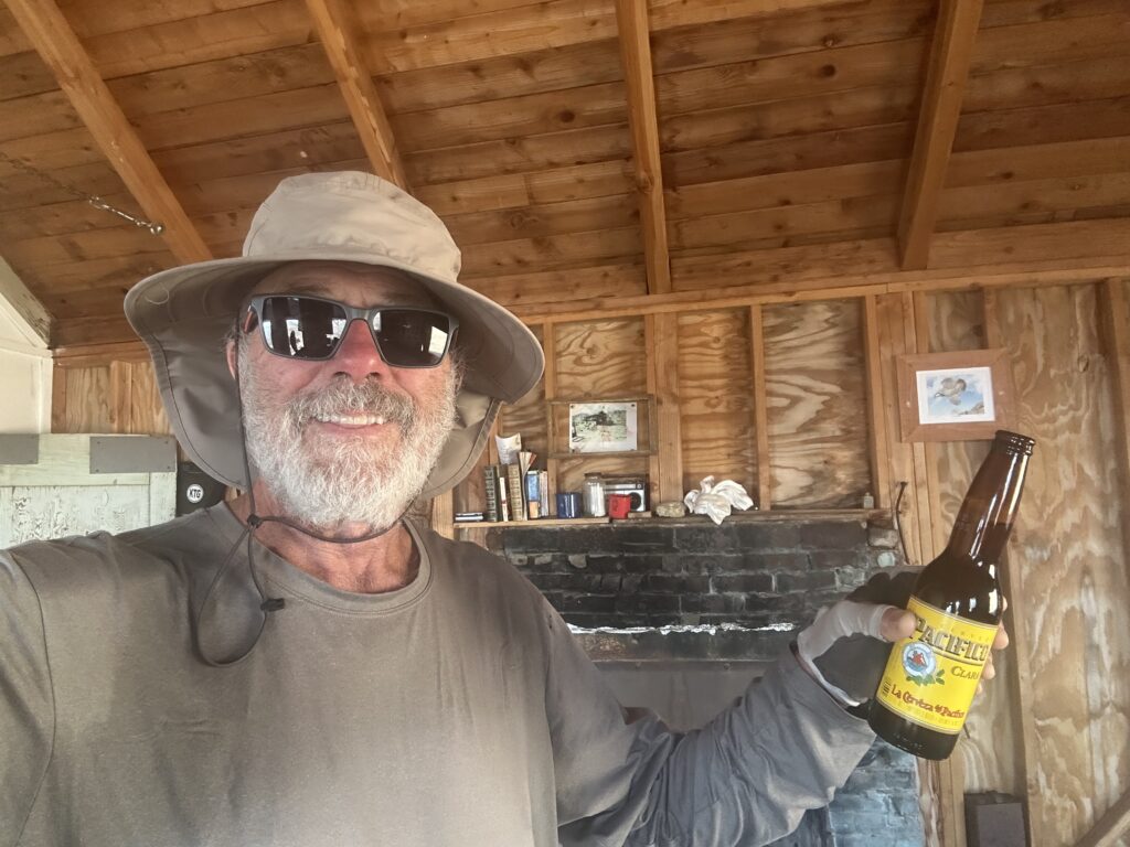
Just up the hill from the mine was the Hilltop House, the residence of the mine operator and primary investors. Apparently it was quite the meeting place for miners and ranchers and I could see why – a nice fireplace and quite the view into the Mohave Preserve. The house collapsed in a windstorm in 2008 but has been partially restored by the park service. I enjoyed lunch out on the front porch complete with a single Pacifico beer I found in the old fridge. What a treat!
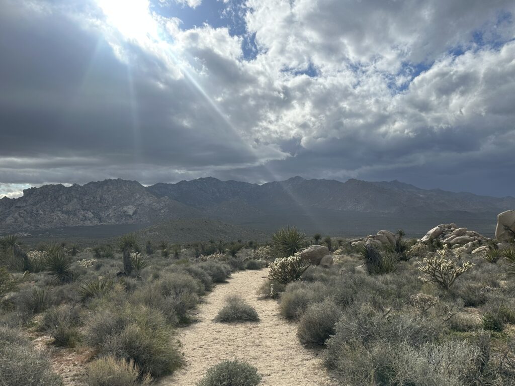
Back on the DWTH, I continued south along the Mohave Wilderness boundary and Hidden Hills before turning west over a pass and the Horse Hills, rugged, rocky terrain with cool rock formations. I must say I did get a tingly feeling that a mountain lion may be watching me from one of the hundred hidey holes in the rocks.
With threatening rain and fast moving clouds, I quickly made it down into the valley and crossed the paved Kelbacker Road. Another challenging tent erection in windy conditions and then had to range far and wide for rocks to reinforce my dwindling tent stakes.
As it started sprinkling, I began my search for my next food and water cache – my notes said 50’ from the “corner” near a dead tree with mistletoe and my dropped GPS pin wasn’t much help. A bit frantic, with all the dead trees having mistletoe, I discovered the “corner” I noted was a few hundred feet away. To my relief, I found the cache and hurried back to my tent as the squall arrived in full force. Short lasting but a cool, breezy night.
New birds today: Brewer’s Blackbird and a Sage Thrasher.