

GET Day 16: Top of Pinalenos and Down I Go
Daily Miles: 23.0, Total Miles: 227.0
By morning I had my socks, long johns, buff, fleece cap and down jacket on. I hunkered down deep in my sleeping bag. The water bottles were full of slush.
I decided to take the Ash Creek bypass route based on recent reports of severe erosion and flood damage.

First, about ten miles on the Swift Trail (graded dirt road) across the top of the Pinalenos. Then five miles down the Arcadia Trail, and another four miles along the Swift Trail (now paved).

Rejoined the GET at Noon Creek where I was tempted to take a bath in the deep pools.
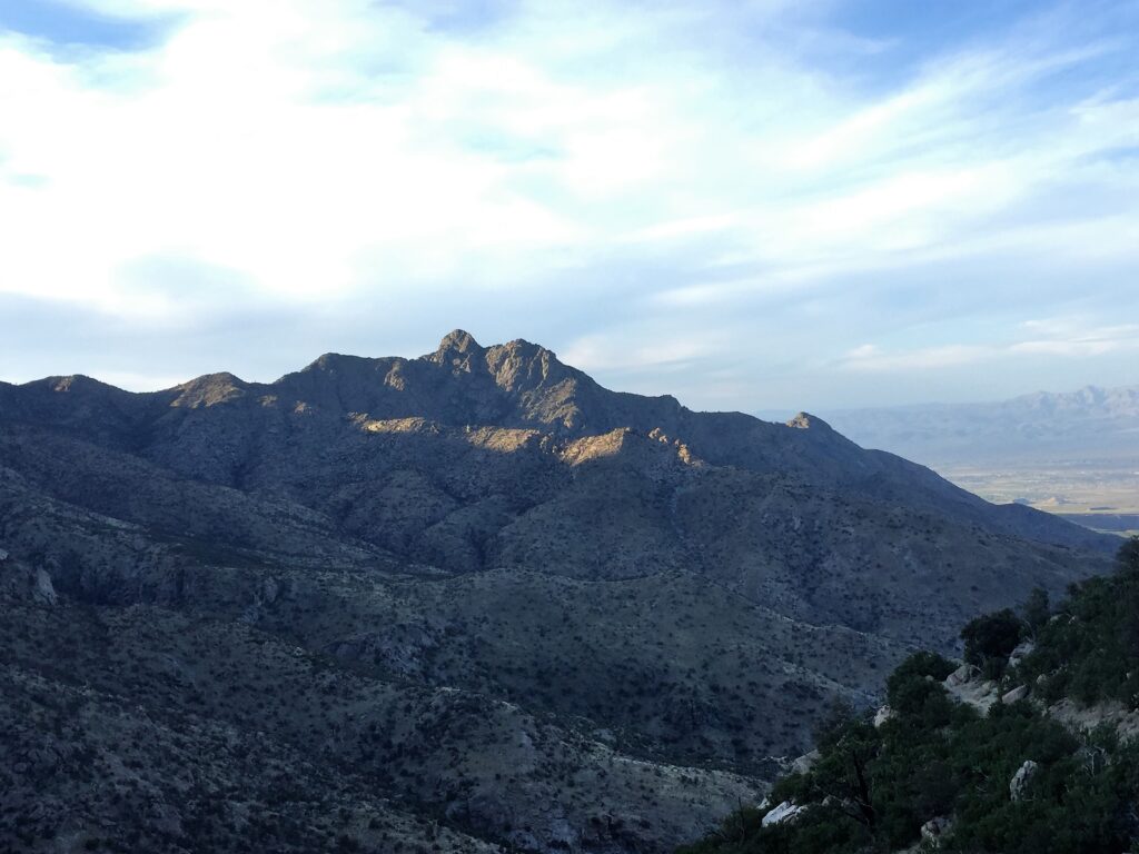
Finally up and over to rugged Marijilda Canyon, reaching the creek as the sun was going down. Too rocky to camp so continued on above the creek, finding a somewhat flat spot with less rock with the aid of my headlamp. Looking down on the lights of Safford tonight.
There have been two big fires here since the last time I was in this area. The aftermath of erosion and rock slides are evident in many drainages including the trail being wiped out at the bottom of Aracadia. There is a safer place to re-access the trail a few hundred yards downstream.
While on the Swift Trail, I got ride offers from a few fishermen returning from opening day for trout fishing at Riggs Lake. Nice gesture and tempting!