Skip to content
Purple Haze Hikes

Purple Haze Hikes

Trail journals from my favorite hikes!

  • Home
  • About
  • Triple Crown HikesExpand
    • Pacific Crest Trail – 2013
    • Continental Divide Trail – 2015-2017
    • Appalachian Trail – 2023/2024
  • Other HikesExpand
    • Arizona Trail – 2012
    • Grand Enchantment Trail – 2018
    • Hayduke Trail – 2019
    • Mogollon Rim Trail – 2021
    • Sky Islands Traverse – 2021/2022
    • Colorado Trail – 2022
    • West Highland Way – 2024
    • Desert Winter Thru-Hike – 2025/2026
  • Gear
  • Contact
Purple Haze Hikes
Purple Haze Hikes
Trail journals from my favorite hikes!
MOGOLLON RIM TRAIL

MRT Day 31: Blue Range Primitive Area

ByPurple Haze Posted onMay 18, 2021September 22, 2025

Daily Miles: 16.2, Total Miles: 442.2

I was a bit worried yesterday about getting back to the trail from Alpine. Hitching is always possible but I knew traffic was sparse, especially early in the morning. The only advice a few locals had was to ask around at the Bear Wallow Cafe at breakfast. So I decided to cold call a couple whose contact info I got while researching this trail and may be available for a ride to the trail. I’m so glad I did! Debbie called right back and they picked me up at 7am this morning and took me straight out. A generously kind act by MRT trail angels! We had a nice chat on the way out – turns out they are avid hikers and hope to finish the Colorado Trail this summer. Thank you so much, Debbie and Aaron!

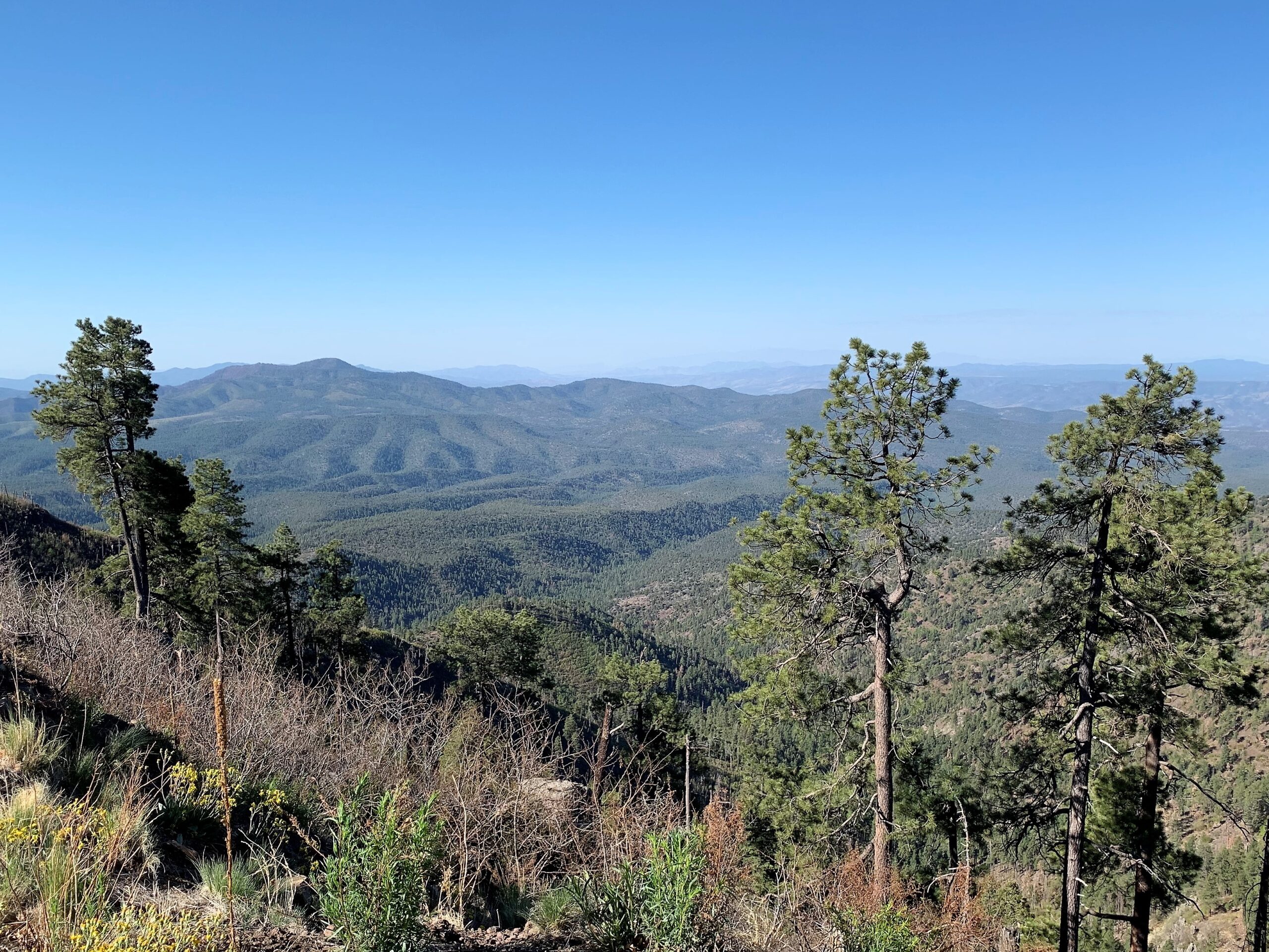
I got dropped off where I left off on FR25. So to maintain my continuous footpath on this journey, I decided to walk down Highway 191, otherwise known as the Coronado Trail, for about six miles to Strayhorse CG and rejoin the MRT. Only three cars went by so it was like having my own paved pathway with great, expansive views.

View to west from the Coronado Trail

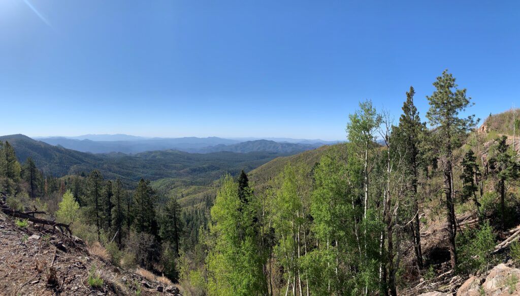
From there, it was mostly downhill alongside pretty Raspberry Creek. The closest thing you will get to a “green tunnel” on the MRT.

West toward the Blue Range

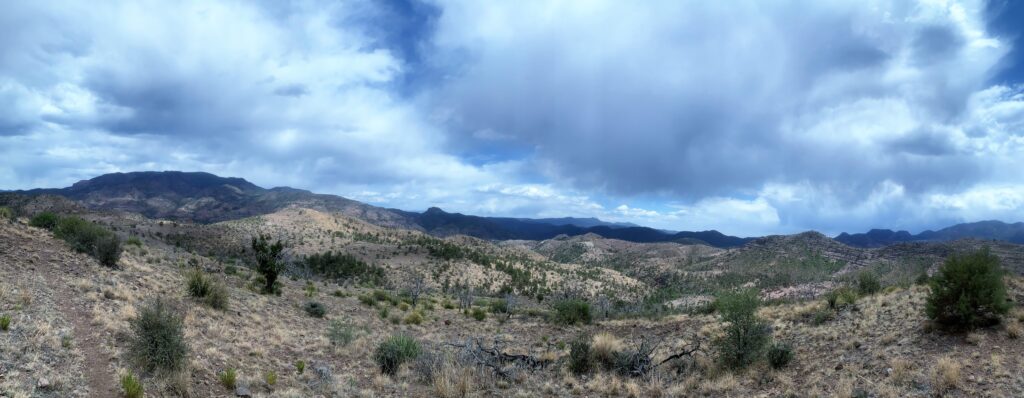
I also entered the Blue Range Primitive Area, a rugged and remote region, home to the recovery efforts for the Mexican gray wolf.

I followed Raspberry Creek, flowing most of the way, and camped right at the confluence with the Blue River. Set up my tent partially on the trail – don’t think it will be a problem tonight.

Post navigation

Previous Previous
MRT Day 30: Zero Day in Alpine
NextContinue
MRT Day 32: Blue River & the Little Blue Box
  • DWTH Day 9: Strolling into Arizona City
  • DWTH Day 8: Sawtooth Mtns to a Wasteland
  • DWTH Day 7: Ragged Top to Sagittarius Rd
  • DWTH Day 6: Waterman Mtns to Ragged Top
  • DWTH Day 5: Roskruge & Dos Titos Mtns

© 2026 Purple Haze Hikes

Scroll to top
  • Home
  • About
  • Triple Crown Hikes
    • Pacific Crest Trail – 2013
    • Continental Divide Trail – 2015-2017
    • Appalachian Trail – 2023/2024
  • Other Hikes
    • Arizona Trail – 2012
    • Grand Enchantment Trail – 2018
    • Hayduke Trail – 2019
    • Mogollon Rim Trail – 2021
    • Sky Islands Traverse – 2021/2022
    • Colorado Trail – 2022
    • West Highland Way – 2024
    • Desert Winter Thru-Hike – 2025/2026
  • Gear
  • Contact