AZT Day 10: Top of the Rincons
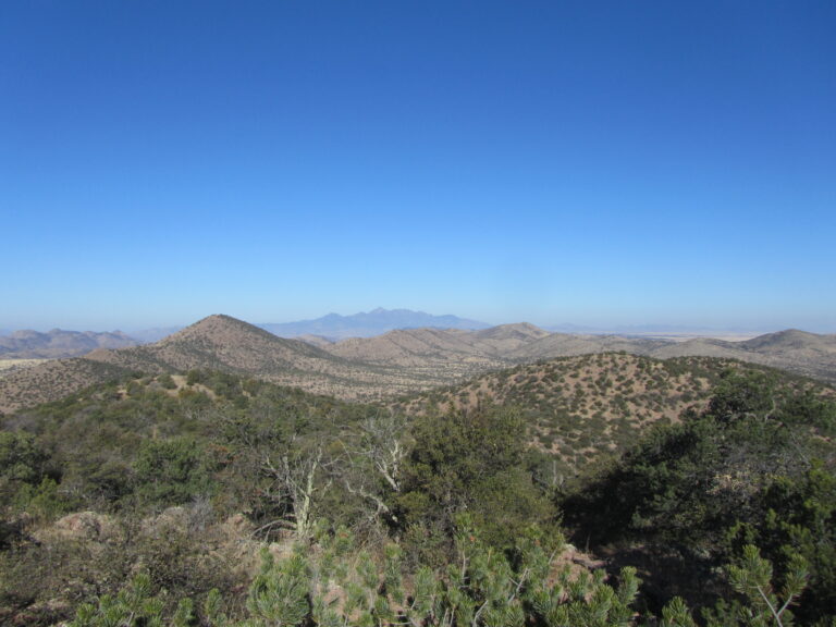
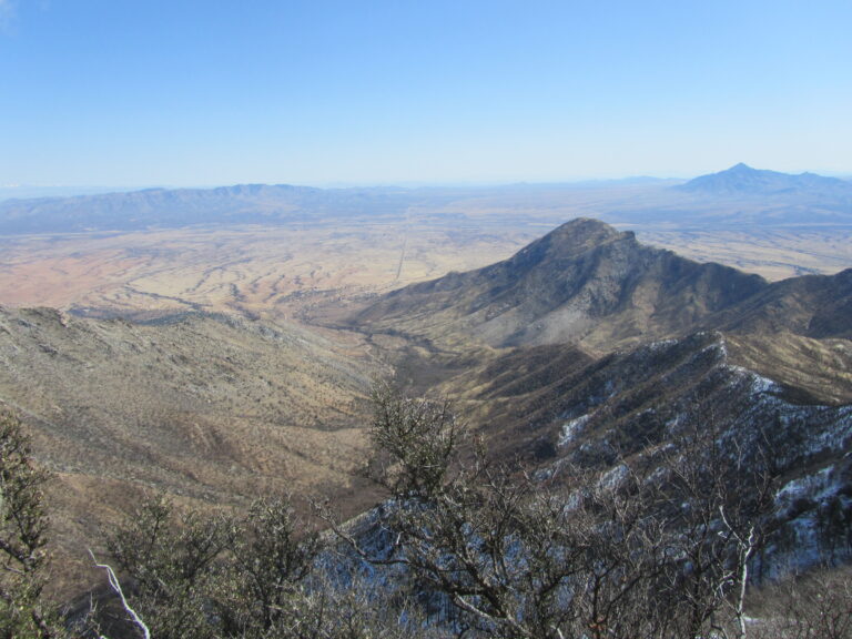
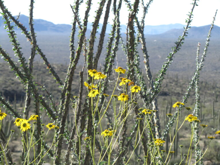
Daily Miles: 15.8, Total Miles: 148.2 I took a few days off to help my wife with a landscaping project. But very inviting views of the Rincons from our house. I hiked from the Loma Alta TH back to the AZT and Quilter Trail just inside the Saguaro NP East. The Quilter Trail is one of the newly constructed trails on the AZT. This trail shows off some fine examples of the Sonoran desert in early spring. Saguaros, ocotillos leafing…